Severe Storms Could Slam Lorain Overnight—Are You Ready?
A strong storm system is heading toward Lorain, Ohio, and it could bring damaging winds, heavy rain, and thunderstorms Sunday night into early Monday morning. The National Weather Service says this storm could be different from a normal spring rain. Here’s what you need to know—plus how to get ready before it hits.

What’s Actually Headed Our Way?
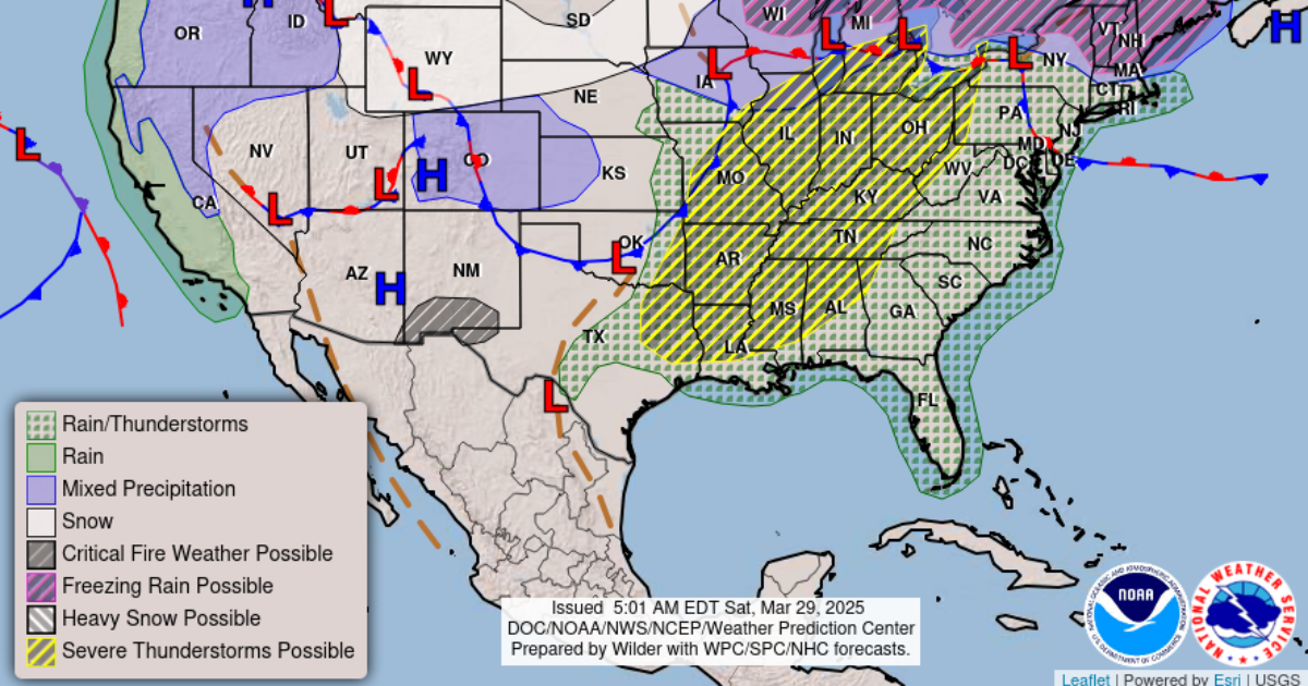
A big weather system is moving across the U.S. It’s expected to reach Lorain County late Sunday, March 30. According to the National Weather Service in Cleveland, the danger starts after 6 PM and could last until 4 AM Monday morning.
The storm will bring:
- Heavy rain
- Strong winds over 60 mph
- Possible thunderstorms
- A chance of tornadoes
- Power outage risk
Right now, the air over Lorain is warm and moist. That means the storm has the right conditions to grow stronger. Even though it’s calm now, things could change quickly Sunday evening.
Not Just Another Spring Storm
This storm is not your average spring rain. Here’s why weather experts are watching it closely:
- A special type of air called an Elevated Mixed Layer (EML) is moving in. This makes the atmosphere unstable—like shaking a bottle of soda.
- There’s a lot of wind in the upper air, which can help storms grow fast and become dangerous.
- The storm will arrive at night, which is especially dangerous because most people are sleeping.
- The Storm Prediction Center has already marked areas west of Lorain as at high risk for severe weather.
In short: this is not just a thunderstorm. It’s a system that could cause real damage if it hits hard.
Storm Timeline for Sunday and Monday
Knowing when the storm will hit is key. Here’s a simple timeline for Lorain:
| Time | What to Expect |
|---|---|
| 4–6 PM | Cloudy skies, warm air, increasing winds |
| 6–8 PM | First round of storms may develop |
| 8 PM–4 AM | Strong storms likely — high risk of damaging winds |
| 4–8 AM Monday | Rain continues, cooler air moves in |
| Monday (Day) | Much colder, with windy conditions and falling temps |
| Monday Night | Possible light snow or flurries in higher areas |
5 Steps to Prepare Before the Storm Hits
There’s still time to get ready. Here are five simple things you can do before Sunday evening:
- Charge Your Devices
Make sure your phone, flashlight, and any battery packs are ready in case of a power outage. - Secure Outdoor Items
Bring in trash cans, patio furniture, or anything the wind could blow away. - Know Your Safe Spot
Choose a basement or small interior room with no windows where you can shelter if a warning is issued. - Sign Up for Weather Alerts
Use a NOAA Weather Radio, app alerts, or your local news to get updates fast. - Check on Neighbors
Some people may not know a storm is coming. A quick call or knock could make a big difference.
Why Timing Makes This Storm So Dangerous
One of the biggest dangers of this storm is when it will hit. Most of the severe weather is expected between 8 PM and 4 AM. That’s when many people are asleep. At night, it’s harder to see danger and respond in time.
Another issue is that the worst storms may come before the main cold front arrives. A pre-front line of storms could hit Lorain between 6 and 8 PM, catching some people off guard.
⚠️ “Don’t wait until the sirens go off—prepare before bedtime.”
Another Storm Could Arrive Midweek
This isn’t a one-and-done event. Weather experts are already watching another storm that could reach Lorain on Wednesday night.
- A strong low-pressure system will move in from the central U.S.
- There may be a second round of rain, thunderstorms, and wind.
- Right now, it looks like the worst part of that storm will also hit after dark.
- Severe weather is possible again, depending on how fast the atmosphere heats up during the day.
If Lorain gets a lot of rain from Sunday’s storm, the ground may already be soaked. That could lead to flooding by the middle of the week.
This Isn’t Hype—It’s About Safety
Some people think weather warnings are overblown. But this one is backed by solid data and experience. The National Weather Service, NOAA storm maps, and local forecasters all agree: Lorain is at risk for a serious weather event.
It’s important to take it seriously—but not panic.
Here’s what you can do:
- Share this article with friends and family.
- Tag someone who needs a reminder to check the weather.
- Comment below: Do you have a storm plan? Where’s your safe spot?
📣 Final Reminder
✅ Check the forecast again Sunday morning.
✅ Have your storm kit ready before dinner.
✅ Stay alert from 6 PM Sunday to 4 AM Monday.
✅ Look ahead to Wednesday night’s possible second storm.
Stay safe, Lorain. This storm has the potential to hit hard—don’t let it catch you off guard.