Northeast Ohio is under a severe weather threat on Tuesday, April 29, 2025, as a strong cold front moves through the region, bringing the potential for dangerous thunderstorms during the afternoon and evening hours.
According to the National Weather Service and multiple forecast centers, damaging wind gusts will be the primary hazard, with winds expected to gust between 30 and 40 mph, and locally higher in the strongest thunderstorms. Large hail is possible, and forecasters warn that isolated tornadoes cannot be ruled out.
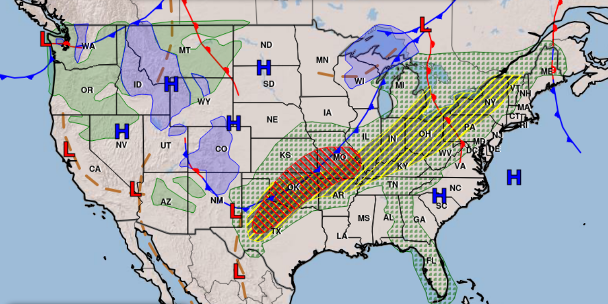
The Storm Prediction Center has placed much of Northeast Ohio, including Elyria, Sandusky, and Cleveland, under a Slight Risk for severe weather. Areas farther south and east, including Akron, Canton, and Mansfield, are under an Enhanced Risk, meaning the chance for damaging storms is even greater.
Storms could begin developing after 2 p.m. and are expected to continue into the evening hours, with the strongest storms likely between late afternoon and around 10 p.m. Morning cloud cover and scattered showers may impact how intense storms become, but confidence remains high that severe thunderstorms will form as temperatures climb into the upper 70s and low 80s.
Heavy rainfall could also lead to localized flash flooding in some areas. Residents are urged to stay weather-aware throughout the day and have multiple ways to receive warnings, such as smartphone alerts, weather apps, or NOAA weather radios.
In preparation for possible severe storms, residents are advised to secure outdoor furniture and loose items, fully charge phones and portable chargers, and identify a safe shelter location inside their home — ideally a basement or an interior room away from windows. Flashlights and backup power sources should also be checked in case of outages.
Conditions may change rapidly, and additional updates will be issued as the situation develops.